We’ve wanted to hike Mount Greylock, the highest peak in Massachusetts, for a long time now. We love winter hiking and after the nor’easter dropped over a foot of snow on the mountain, we knew we had to finally make it happen.
After a leisurely start, we arrived at the Gould Trailhead around 11am and parked along the road with a bunch of backcountry skiers who were making their way up Bellows Pipe Trail. Gould Trail is also accessible from the parking area on West Mountain Road. There are multiple routes of varying difficulty and length to hike to the summit of Mt. Greylock. We opted for a roughly 7 mile out and back on Gould Trail that was quite quiet and of moderate difficulty. This trail map from Massachusetts DCR helped us choose our route.
At the beginning of the trail, we could see Mt. Greylock to our right as we walked through the flat trail next to the valley. Since it recently snowed, there were a ton of snowshoe tracks and snowmobile trails braided through this area. We checked our Gaia GPS a few times to make sure we were on the right path until we got to a sign telling us that we had 2.7 miles to get to Mt. Greylock. We turned right to stay on Gould Trail, crossed the stream on a small bridge, and started the real ascent.
Snowmobile tracks on Gould Trail
Gould Trail sign before the ascent
It was a gorgeous day. The sky was bright blue and temps were in the low 30s, which felt incredibly warm for winter hiking. There were clear snowshoe tracks the entire way, with some of the trail more covered from wind drifts. We kept our snowshoes on the entire time, floating above the snow with ease. About halfway up the mountain, we were surprised to hit a relatively flat section that led through a glade of birch and pine trees topped with heavy snow. The deep blue sky behind them seemed unreal on this bright day.
Beautiful section of Gould Trail
Gould Trail on the way up to Mt. Greylock
At the end of Gould Trail, we emerged onto a wide-open road, for cars in the summer and snowmobiles or skiers in the winter. After crossing the road, we joined the Appalachian Trail for 0.4 miles to the summit. On the AT, we found ourselves walking amongst trees completely coated with snow and ice. It was a magical scene. We passed a building and a cell tower and then saw the Veterans War Memorial Tower at the summit through the trees.
Road up to Mt. Greylock
The Appalachian Trail to the summit of Mt. Greylock
Veterans War Memorial Tower between the trees
We came to a completely open summit, with a lodge building to the right and the monument towering over us. A few clouds peppered the bright blue sky and the wind gusts picked up. Along with many other skiers and hikers, we found a spot to shield us from the wind to enjoy a quick lunch and enjoy the view.
Tower on the summit of Mt. Greylock
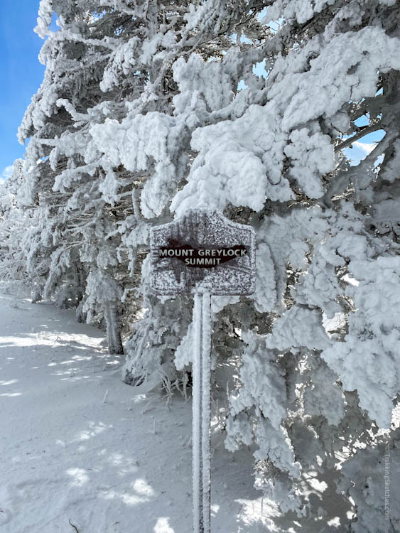
Mt. Greylock summit sign
Lodge on the summit of Mt. Greylock
View from Mt. Greylock
The gradual climb made for an extremely pleasant descent. We felt like we were gliding down the mountain in record time. We could not have asked for a more beautiful day to hike Greylock!


Be First to Comment