Hiking Mt. Jefferson in Winter
We finished our winter NH 48 4,000 footer list on Mt. Jefferson! It was a tough yet rewarding hike with lots of rugged miles above treeline fully exposed to the elements.
Hike Date: March 15, 2022
Stats
Route
Segment Distance | Total Distance | Route Description |
| 0 mi | 0 mi | Start at Cog Railway Base Station Hiker Parking |
| 0.4 mi | 0.4 mi | Jewell Link to Jewell Trail |
| 2.5 mi | 2.9 mi | Jewell Trail to Gulfside Trail |
| 1.5 mi | 4.4 mi | Gulfside Trail to Mt. Jefferson Loop |
| 0.3 mi | 4.7 mi | Mt. Jefferson Loop to summit of Mt. Jefferson |
| 0.3 mi | 5 mi | Mt. Jefferson Loop back to Gulfside Trail |
| 1.5 mi | 6.5 mi | Gulfside Trail back to Jewell Trail |
| 2.5 mi | 9 mi | Jewell Trail back to Jewell Link |
| 0.4 mi | 9.4 mi | Jewell Link back to Cog Railway Base Station |
Map
Note: Map mileage does not match stats because Gaia GPS tends to undercount it. Mileage stats were calculated using the White Mountain Guide and Trail Maps.
In the last week of winter of 2022, we had the opportunity to finish our winter NH 48 4,000 footers list on Mount Jefferson, a rugged peak of the Presidential Range. One of the biggest concerns we have about winter hiking is being caught above treeline in poor weather conditions, so we waited to hike Jefferson on a day when the winds were low. We started at around 1pm, knowing that the winds would be steadily decreasing into the evening hours.
Cog Railway Parking and Jewell Trail
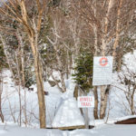
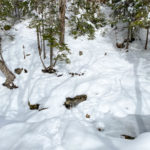
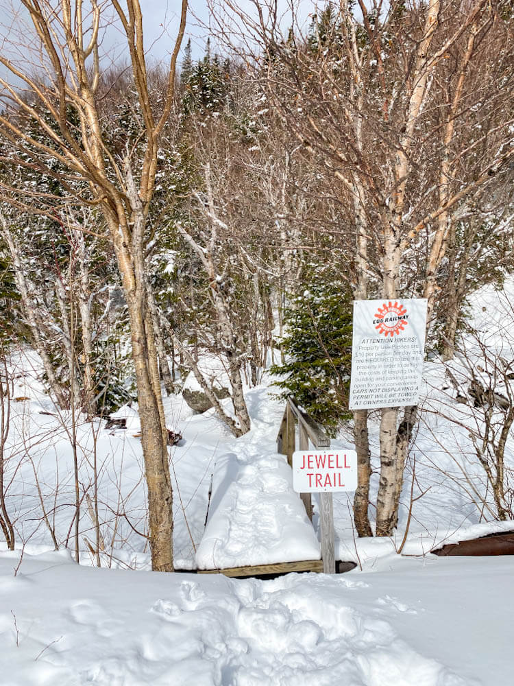
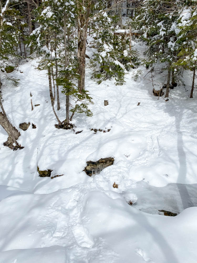
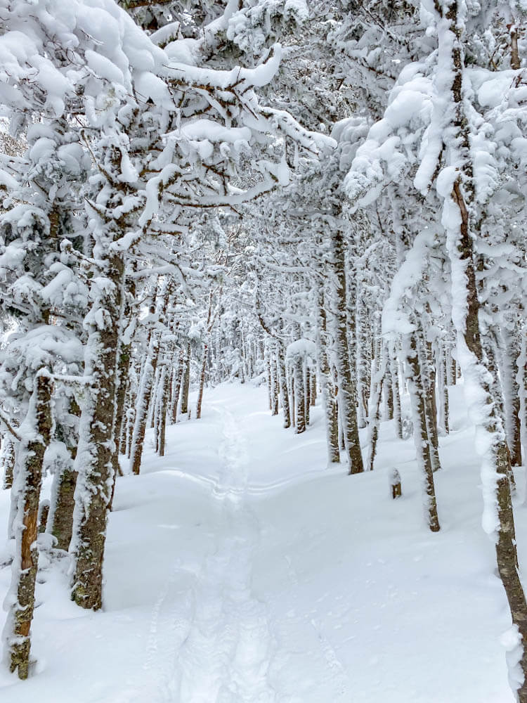
To start, we parked at the Mount Washington Cog Railway Station hiker parking lot (on the right side just below the main building). Note, you need to pay $10 per person to park there (bring a pen to write on the envelope and hang the tag in your car). We walked up the road, turned left towards the cog railway tracks, and crossed at the platform A sign to reach the Jewell Trail Link. Just down the stairs, we crossed a small stream immediately. Apparently, a bridge washed out there at some point, but we did not have an issue crossing this river during winter. There was a nicely packed snow bridge that made it plenty easy. We climbed up and over a small hill and continued to a bridge that crossed another stream. Across that, we continued to Jewell Trail, which provided a pretty lovely and very gradual ascent.
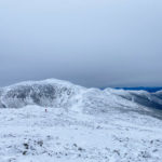
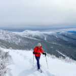
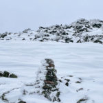
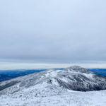
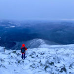
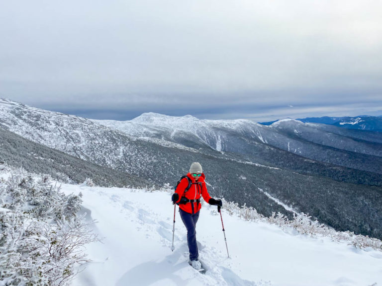
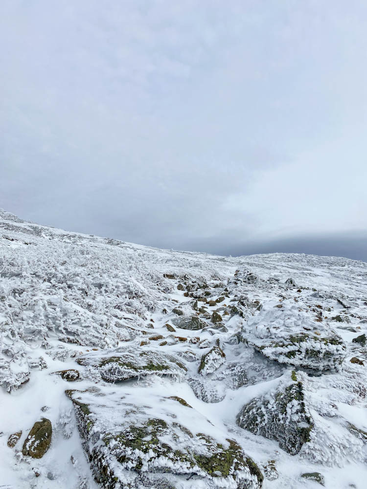
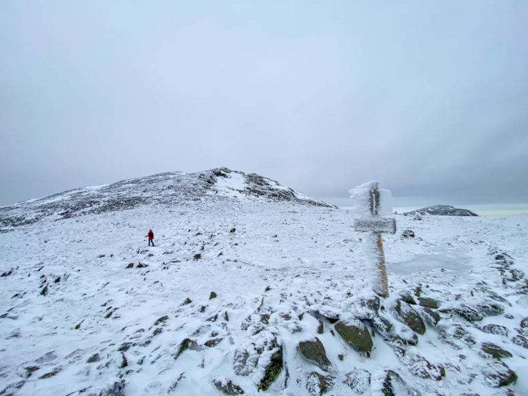
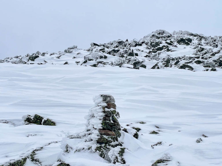
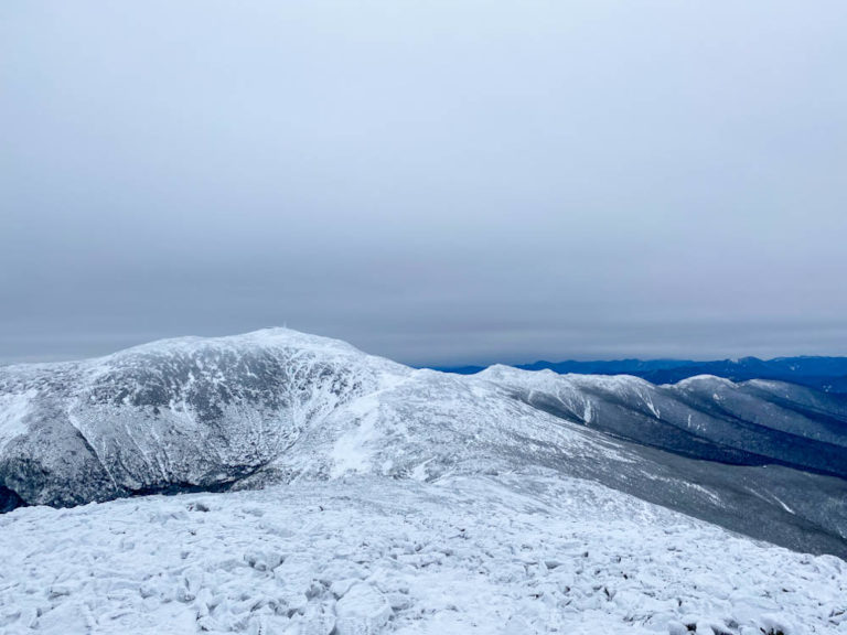
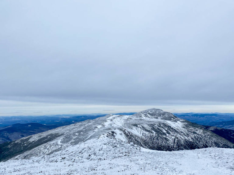
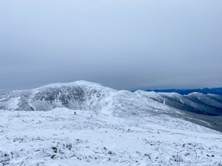
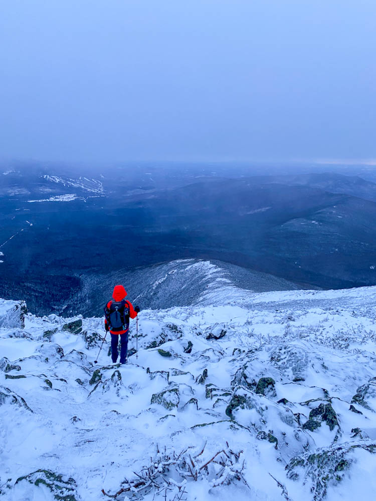
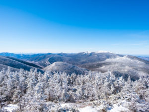
The last half mile of Jewell Trail is all above treeline with incredible views of the Southern Presidentials and glimpses of Mt. Washington and Mt. Jefferson. The switchbacks were a combination of knee to waist-deep snow and icy wind-scoured rock. We opted to keep snowshoes on so not to posthole the entire way, but it made stepping along the rocks really precarious. With such variable conditions there just wasn’t a perfect traction device for the day. This section took much longer than anticipated because we gained a lot of elevation and had to deal with some tough trail conditions that made the going very slow. We carefully followed the cairns up towards the shoulder of Mt. Clay in front of us and turned left at the hairpin turn onto Gulfside Trail.
Gulfside Trail to Mt. Jefferson Loop
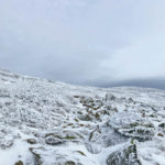
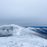
On Gulfside Trail, we first skirted Mt. Clay and then descended into the col between that and Mt. Jefferson. Again, carefully picking our steps and navigating through extremely deep snow drifts between stretches of ice and bare rocks made our pace pretty slow.
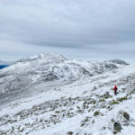
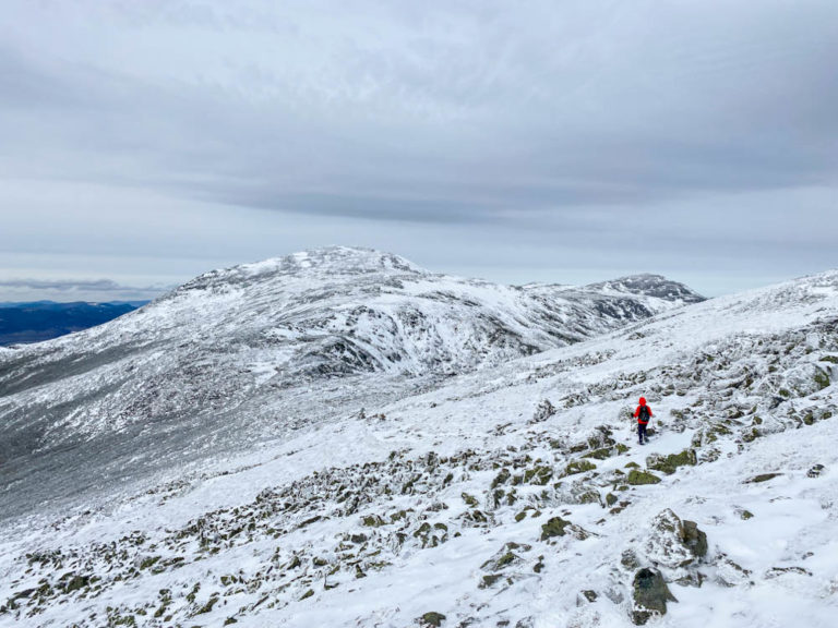
When the trail began climbing up toward Jefferson, we knew we had about 500 ft of elevation to gain before the summit. While that didn’t sound like that much, it was absolutely exhausting in the tough boulder-hopping conditions of the Northern Presidentials. The landscape above treeline up there is just so rugged that every step is both a physical and a mental challenge. We had to keep our focus on our feet at all times to make sure we didn’t take a misstep that could lead to a twisted ankle or a fall.
Mt. Jefferson Loop to Mt. Jefferson
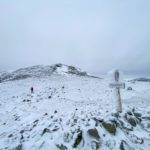
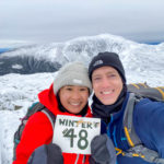
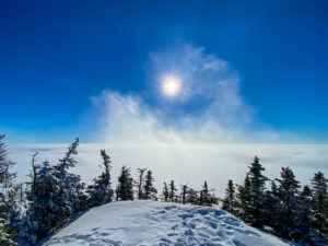
Just before the summit, we turned off of Gulfside Trail, which skirts the actual peak, and joined Mt. Jefferson Loop for the last 0.3 miles of ascent. This trail included a strip of beautiful snow drifts carved by fierce winds. We crossed them and scampered up the last pile of rocks that make up the summit. Standing atop our 48th and final winter peak for the NH winter 48 list filled us with such accomplishment that we almost forgot how tired we were from the effort of the hike. We savored our time up there, taking pictures and reflecting on a huge journey completed.
Mt. Jefferson back to Jewell Trail
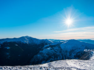
With the sun already behind a thick veil of clouds and about to set, we left the summit and made the best time we could across the challenging terrain of Gulfside Trail back to Jewell Trail. Likely aided by our lifted spirits after summiting and motivated by the growing darkness, this felt much easier than the way up – and we even had to reclimb 400 ft of elevation along the side of Mt. Clay.
Descending Jewell Trail
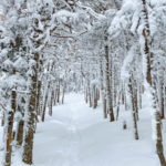
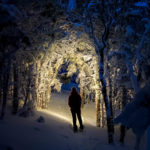
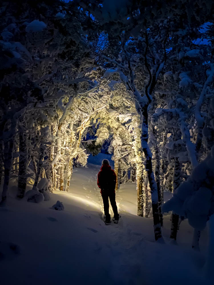
By the time we rejoined Jewell Trail, the sun had set, but there was still enough light during this twilight hour to see. We started the descent just as snow began to sprinkle from a forecasted overnight storm. It certainly motivated us to move faster seeing the clouds enveloping the Southern Presidentials and heading toward us. We made it back to treeline just as it was starting to actually get dark. So we put on our headlamps and breezed down a surreally beautiful Jewell Trail in the snow flurries and darkness.






Be First to Comment