Hiking Through Connecticut from the AT Metro North Stop Near Pawling, NY to Great Barrington, MA
The days leading up to our long awaited Appalachian Trail start date were an absolute whirlwind. Within five days, we packed up our apartment, put our belongings in storage, drove our car to Virginia, took a train to NYC, then another train to an AT trailhead just outside of Pawling, NY. To say we were overwhelmed is an understatement. When we got on the Metro North at Grand Central, Kevin was overcome with emotion. A year of anticipation and a week of frantic final preparation had us feeling all the feelings. Once we started hiking, though, everything felt like it fell into place. We felt calm and at ease. We spent the majority of the first six days walking through Connecticut and were very surprised by how much we enjoyed it! The campsites were all so well-maintained and the trails were not too strenuous.
Big Reflections:
- Honestly, so far, hiking has been the “easiest” part. Of course it isn’t really easy, but it is what we love most. And the Connecticut trails, with their switchbacks and blooming mountain laurels, have welcomed us warmly.
- For us, thru-hiking is about mindfulness. We are more present and notice the small things so much more: the ferns, flowers, bugs, weather. Meditation along the way, both seated and walking, is a big part of this journey.
- The AT hiking community has lived up to expectations. Everyone is doing their own thing and people respect that! At the same time, hikers have been super friendly. Speaking of community…
- We got trail names! Kev is henceforth “Bill Nye the Hiking Guy” (can’t you just hear the theme song now?). Not only is Kevin a middle school science teacher, but our friends have chanted “Kev, Kev, Kev” to the theme song of Bill Nye for years whenever he has given us any science-related facts. Kathy is trying on “Princess Waffles.” She has received a ton of suggested trail names but “waffles” on which one speaks to her most. When describing this trail name dilemma, a fellow hiker noted that she wears her buff like a crown and suggested Princess Waffles. Family and friends love it, but TBD if this one really sticks.
Day 1, 6/18/22: AT train stop by Pawling, NY to Ten Mile River Campsite
9.8 mi, 1,700 ft elevation gain
We got off the train full of nerves but calmed quickly after briefly chatting with a man and woman out for a day hike from the city. Kathy took their picture with the sign and we shared that this was our first day on trail for a thru-hike. He seemed so proud of two strangers about to embark on this adventure. It felt so affirming and was a lovely interaction. He took our picture with the station sign and we headed off with our first steps on the Appalachian Trail.
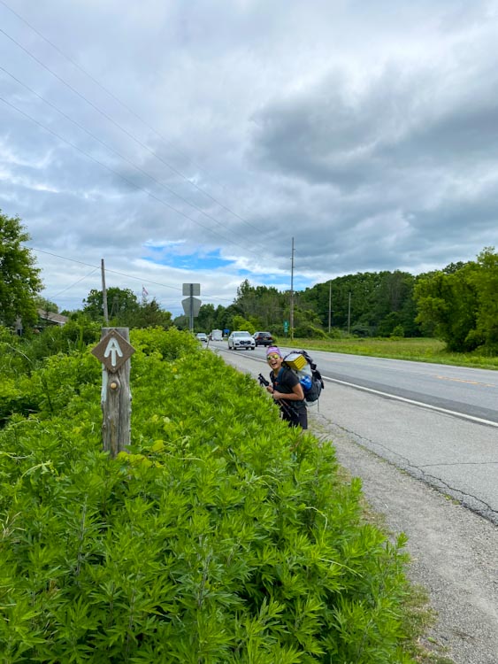
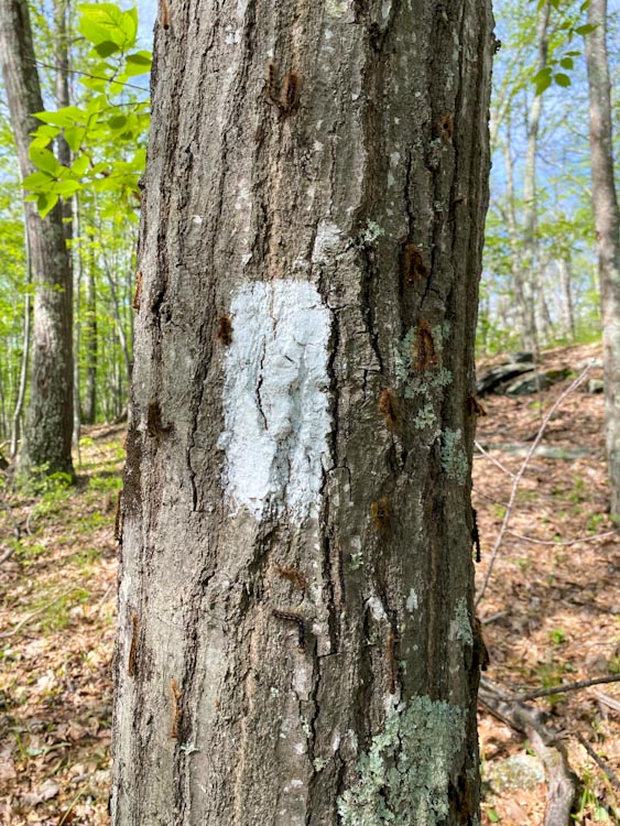
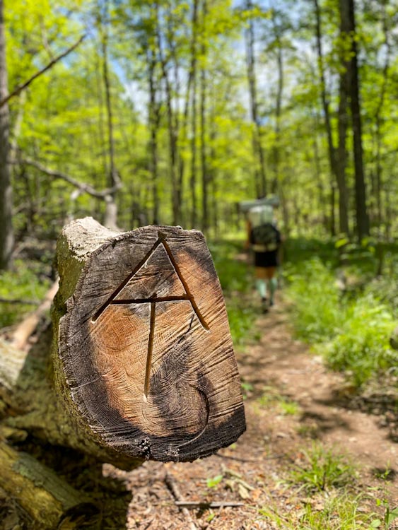
We had such exuberant joy as we started. We cheesed hard upon seeing the first white blaze and the first AT sign. We started up a hill and across some farmland on the most ideal hiking day we could dial up. Sunny with a few clouds and around 70 degrees. It truly felt like the trail was welcoming us lovingly with open arms!
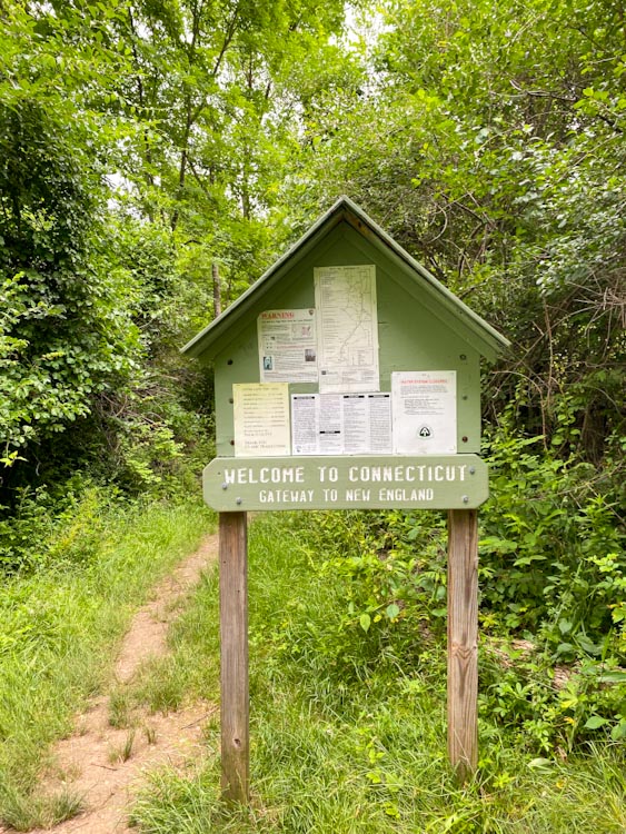
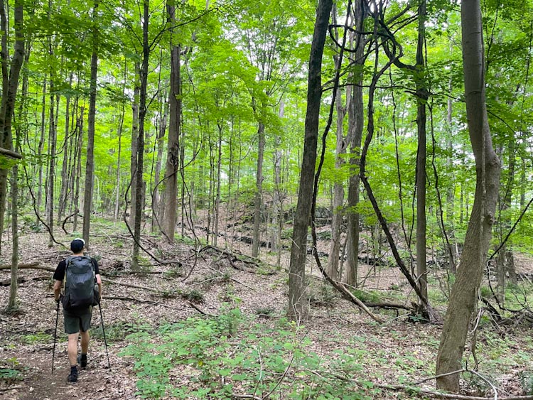
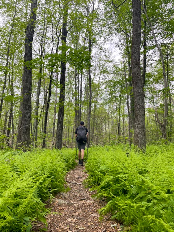
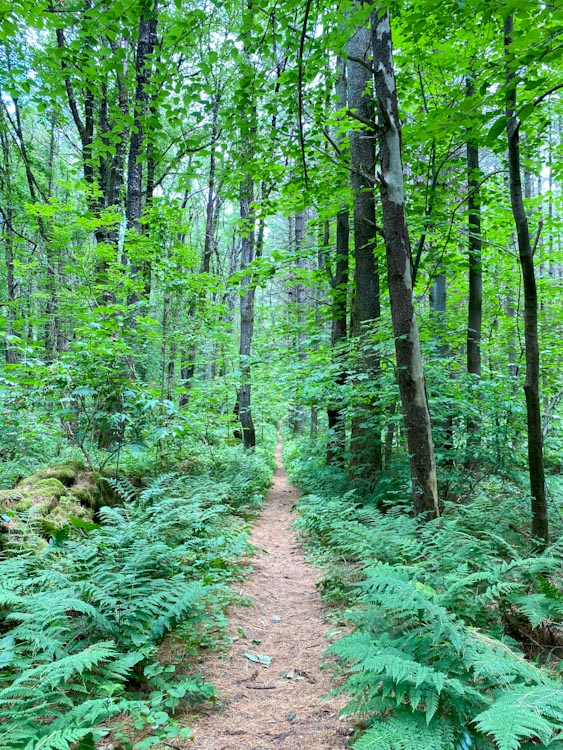
The trail ducked into the woods and we followed a pretty gentle path all day past blooming mountain laurel bushes, stretches of ferns, and tall trees with twisty vines climbing to the sky. Before we knew it, we said goodbye to New York and officially crossed into Connecticut.
We arrived at Ten Mile River Shelter and opted for the campsites a short bit further up the trail. Over slurping our ramen, we planned out our next 3 days to get to Salisbury for resupply. Then, we laid down to listen to books (we are open to more book suggestions! Currently listening to The Alchemist, Braiding Sweetgrass, and We Were Dreamers) and relax after a great first day of this long journey.
With a single step
Let the long journey commence
One day at a time
Day 2, 6/19/22: Ten Mile Brook Campsite to Mt. Algo Shelter
9 mi, 2,100 ft elevation gain
We woke up at the Ten Mile River Campsite to birds chirping as the sun rose. We peered outside and saw fellow hikers packing up their camp. We love hiker schedules and the routine of sleeping by the moon and rising by the sun, just being a part of the rhythm of nature.
A bit groggy and weary eyed, we began our morning routine, which includes Kevin starting chores like getting the bear bag and boiling water for tea and coffee and Kathy changing and packing up. Today we decided to hike less. The shelters were spread out in a way that would require us to hike either 9 miles, too little, or 16 miles, too much for our second day. Fighting the urge to just “do more,” we opted to hike the shorter amount and intentionally take long, relaxing breaks. The first three miles of the day went by quickly. We loved the trails that skirt the side of mountains—providing elevation gain in the form of gentle paths with glorious breezes and here and there, a little view.
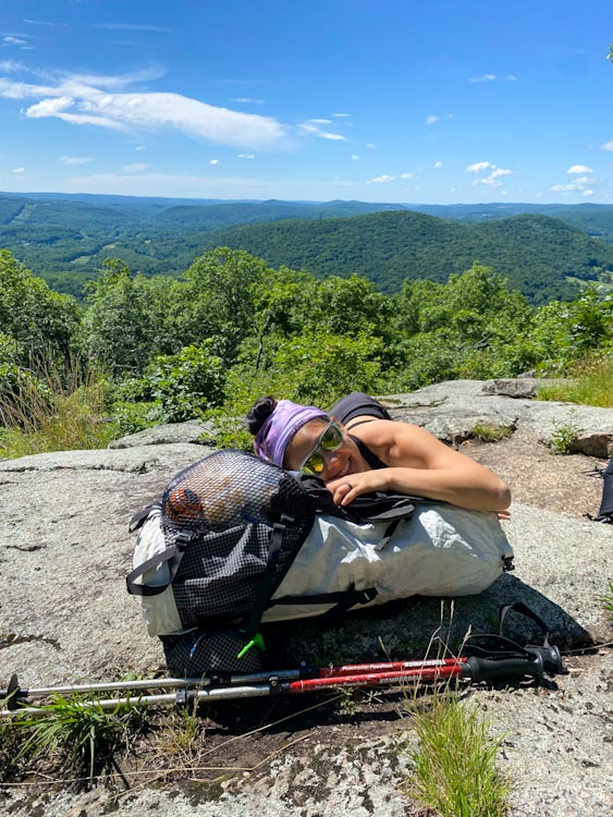
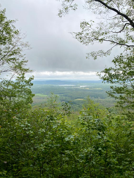
We climbed up to a view down the Housatonic valley and paused at the rocky outcrop. Kathy took a cat nap in the sun while Kevin meditated, practicing one of his favorite nature meditations – releasing hucha (heavy discordant energy) to Pachamama and taking in the refined energy from the universe.
At this spot, we felt so grateful for the greeting from the trail with ideal weather conditions. Kevin was reminded of a quote from The Alchemist, “When you want something, all the universe conspires in helping you to achieve it.” Well we felt the universe conspiring to help us achieve this thru-hike!
We hiked through very open forests filled with infestations of Spongy Moth caterpillars. They are eating everything! It’s clear just how damaging they are to the forest and the canopy was noticeably open from defoliation. There are chunks out of all the leaves and the trail is littered with munched on leaf bits. We learned that they are invasive and were introduced in Boston in the mid 1800’s in an attempt to start a silk industry. They spread from there and are now as far away as Minnesota.
We also saw a huge black rat snake that bolted off the side of the trail in front of us. It was probably the biggest snake either of us has seen in the wild.
The trail passed through a slabby area with blueberry bushes stretching out on either side. In the bright sun of the day this section was gorgeous yet hot as we were climbing. After descending, we reached Thayer Brook, only 1 mi from camp, and took another long break to eat lunch.
We got to Mt Algo shelter and were pleasantly surprised by the size and openness of the campsites. Since we were the first hikers there, we got the pick of the litter and we opted for site 3, abutting the woods and as far away from the trees with spongy moth caterpillars that have completely infested the area. Getting to the campsite felt super joyful. It was bright and sunny with just a little breeze. We played cribbage using our portable and lightweight board that Kevin made for us and watched fellow hikers roll into camp. Hippo, an older hiker from Germany, talked about how hiking the AT is about the people, then gave us a German beer for us to share. This was our first really positive AT interaction. We often feel a little awkward meeting new people at first, but to be expected. At dinner time, we made our meal and Kevin encouraged us to go be social. We sat at the communal picnic table with Newcastle, Hippo, and another woman we had seen along the trail. It was a hilarious dinner of people talking constantly and a perfect way to end the day.
Day 3, 6/20/22: Mt. Algo Shelter to Cesar Brook Campsite
14 mi, 3,100 ft elevation gain
We had a leisurely start to the day after 8am. It’s early in our trip, but we are feeling really good and just enjoying trail life. Today we went about 14 miles with about 3100 feet of elevation gained over a few different undulating peaks. We could not help but see the impermanence of life that Buddhist philosophy teaches us on the trail. We are so happy to get to a flat section on the spine of a ridge, and also know it won’t last forever. Inevitably, a sharp descent or ascent will follow. Perhaps that’s why we enjoy those sections so much. Knowing and appreciating their beauty while reminding ourselves to not get attached.
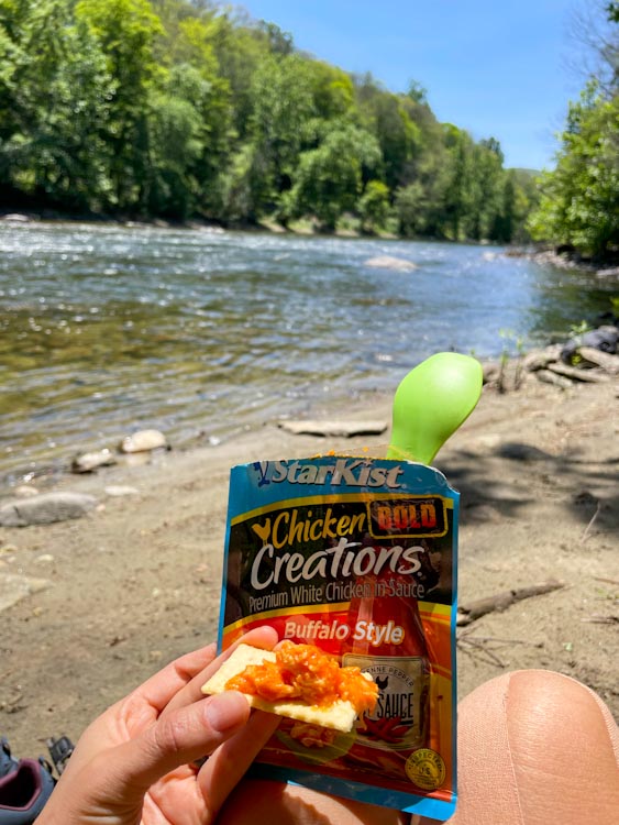
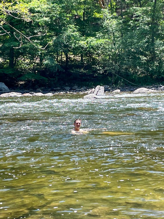
After descending Caleb’s Peak, we followed the flat trail along the Housatonic River, which was absolutely lovely! It was a bright sunny day, 75 degrees, perfect for a long riverside lunch break and swim (trail “bath”).
The last 1500 ft of vertical climb spread over 3 rises was hot in the afternoon sun. We were fatigued by that, but actually fine. The last descent to Cesar Brook Campsite passed through some beautiful mountain laurel blooms in the afternoon light. They are definitely a highlight of CT and we heard they are the state flower! Arriving at camp around 5pm, we ate dinner and enjoyed some soothing mint tea at a beautiful fern-filled campsite.
Day 4, 6/21/22: Cesar Brook Campsite to Limestone Spring Shelter
15.1 mi, 3,300 ft elevation gain
Happy Summer Solstice!
Resting morning fog
Patiently awaits the sun
On the longest day
We passed through some incredible sections of mountain laurel in full bloom. Later in the morning it started sprinkling – our first rainy day on the AT. It rained just a bit on and off through the rest of the day, but never opened up into a downpour, which we were grateful for.
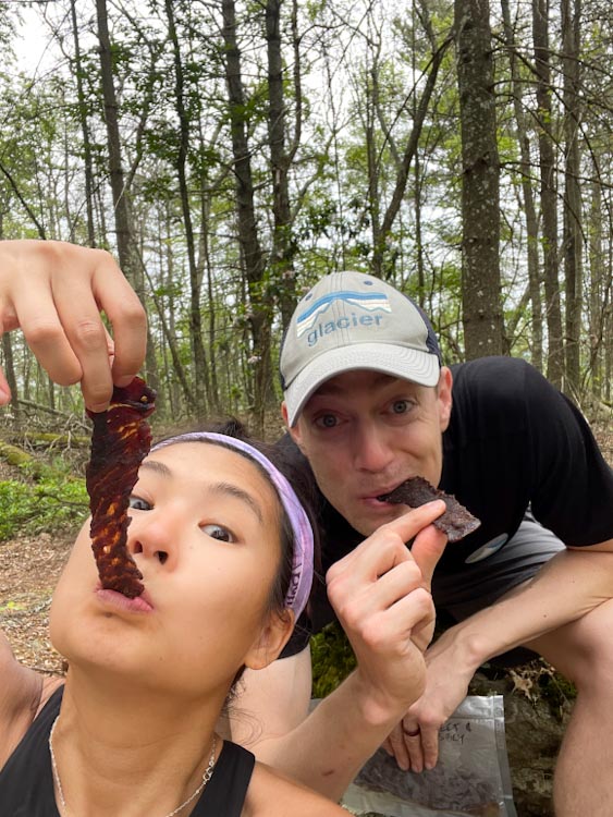
We ate our friend Pete’s homemade jerky for lunch (thanks bud!), came upon a 700 mi to Katahdin sign, and got to Belter’s Campsite, one possible tenting option, around 1:30pm after about 10 mi of hiking. This was way too early in the day to stop so we filled up some crisp cold spring water and decided to continue on for a total of 15 miles to Limestone Springs Shelter.
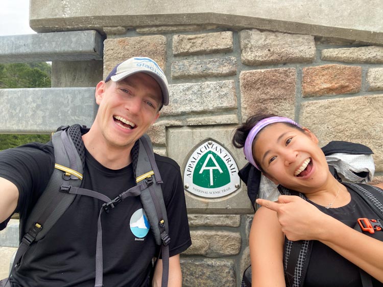
As we continued, we emerged from the woods onto a road walk. We sat with an AT sign on the bridge over the Housatonic River to take some pics and reflected that we are really doing this! Right on cue, we got a nice horn tap from a passing van showing us encouragement too.
The road walk actually kind of hurt Kevin’s left achilles right away. His shoes’ stiffness in the heel and the repeated impact on the asphalt was not a great combination. We’re taking care of our bodies and we’re asking a lot of them as well. At the end of the road section with a few little trail detours – one was a very pretty, accessible gravel path along the river, we passed a big waterfall on the river. From there, we began the last climb of the day. We were feeling sore, but were both OK and drew on those reserves from tough moments during past backpacking trips to motivate us.
Cesar Brook Campsite was down a 0.5 mile side trail that descended some steep rocky sections. It’s never fun to drop so far off trail and know that we have to reclimb that in the morning, but it’s worth it to be closer to Salisbury for resupply. The campsite had tenting platforms, fresh water, a privy, and lots of space, making it worth the side trip.
Day 5, 6/22/22: Limestone Spring Shelter to resupply in Salisbury to Laurel Ridge Campsite
12.4 mi, 2,700 ft elevation gain
Resupply day! Woo! It rained heavily overnight so we had our first wet morning of the AT. Glad we were on a tent platform so we knew we wouldn’t wake up in a puddle! We climbed the super steep 0.5 miles back to the AT and headed off into a misty morning. We quickly came upon a glacial erratic called the Giants Thumb.
Then we hiked down into Salisbury for resupply, taking the bike path right to Lebonne’s Market. I laid out the rain fly to dry, we plugged in our battery packs by an outdoor table, and we headed in to shop. Resupply was fun and we got food for three days plus snacks for the moment. A jar of olives was a good choice! We spent a couple hours checking in on things, eating, relaxing, charging, and chatting with other hikers. Met Bucky and Professor K who helped give us trail names – Bill Nye the Hiking Guy and Princess Waffles. Princess for the crown like buff and waffles for waffling on a trail name and other decisions. Always craving fresh vegetables, Kathy decided to pack out a salad bag that we enjoyed at Riga Shelter for a break. Riga shelter’s view was awesome and we would’ve stayed at the shelter if we didn’t need more miles.
Right after stopping, the stretch across the ridge through fields of blooming mountain laurel was something special. Their tiny white and subtle pink origami petals brought us so much joy.
Towards the top of the climb, we were in the misty clouds and walking on slabs and bare rock – feeling much more like New England! The trail was teeming with little orange salamanders who were clearly more active in the day’s wet conditions. Unbeknownst to us, we were climbing Bear Mountain, the highest point in CT. Took a pic with the eroded stone sign and then descended the steeped rocky section we’ve had yet. And in the slippery drizzle of course.
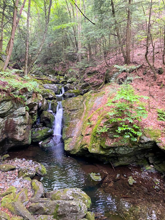
We left CT behind and entered MA – certainly something to celebrate! MA starts with a walk along a beautiful stream that flows through a lush gorge with riffles and waterfalls along the way. We eventually crossed that and headed uphill to camp at Laurel Ridge Campsite. And yes, there were more blooming mountain laurels.
Day 6, 6/22/22: Laurel Ridge Campsite to Great Barrington, MA
13 mi, 2,150 ft elevation gain
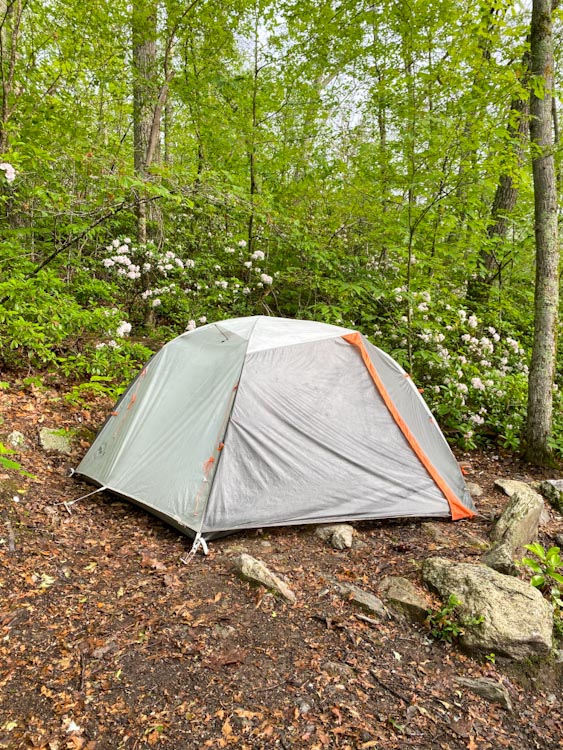
After a day of rain, the sun started peeking through the clouds, shining some light on our little Lightening Bug (name for our tent)! Although our camp spot was a bit slanted, we loved the density of mountain laurels and seclusion of the tent spots at Laurel Ridge Campsite.
Straight away, we began climbing up to Mt. Race along open ledges. These rocky sections skirted the side of the mountain, providing views of the valley below us. Walking on rock slabs for the majority of the climb, we sensed that this might be the beginning of the more strenuous terrain New England is known for.
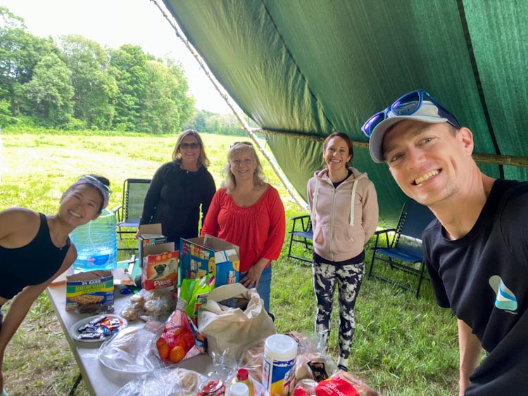
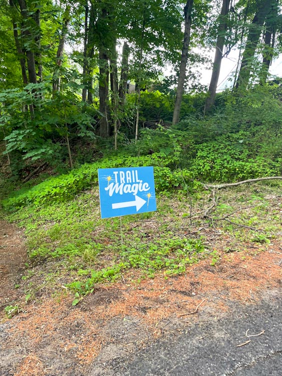
Then, we dropped elevation and spent the last 8 or so miles traversing a combination of flatter wooded trails, marshy areas, and grassy farmland. This area reminded us so much of the trails near our home in Boston. In the last five miles, all of the water sources were dried up and very buggy. Low on water and getting hot from the afternoon sun, we were overjoyed to see a “trail magic” sign just a mile outside of Great Barrington. A local church along with members of the chamber of commerce in Sheffield provide trail magic six days a week at a giant A-frame structure. We were greeted by three women who offered us cold water, burgers, hot dogs, cookies, fresh fruit, and charging stations. This could not have come at a better moment and we are so appreciative of the giving nature of the AT community.
We continued the last mile of trail until we got to Route 7, which takes you directly into Great Barrington. Needing camp fuel and a shower, we decided to stay at a hotel for the night. Kevin stuck his thumb out and within 10 minutes a car stopped. One of our trail angels who had just fed us picked us up, dropped us in town, and sent us on our way. At our hotel, we did some laundry in the sink and enjoyed melting into a soft bed.
In six days, we’ve now done all the thru-hiker things: hiked, camped, resupplied, stayed in hotels, hitchhiked (sort of), and received trail magic. Cannot wait to keep doing this.






















Love these updates! Congrats on a great first week and can’t wait to read more.